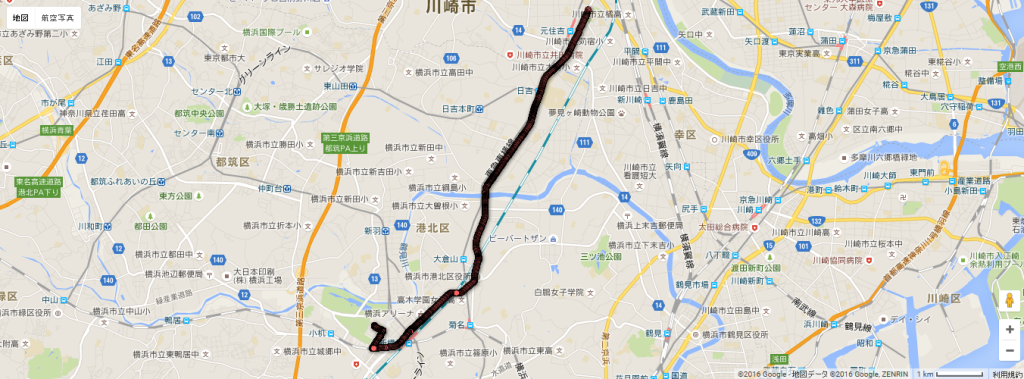
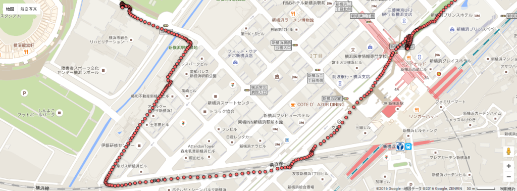
Today, for the first time I installed the data logger on my motorcycle, and I did a test ride in order to log some data. For now, I just exported GPS data (latitude and logitude). After exporting the data into a CSV file, I used Google Fusion Tables to create a map, following this tutorial on Google website.
The procedure is straight forward: I just created a CSV file with two columns ("latitude" and "longitude" data arrays) and imported the file in Google Drive. Below is the result.
As you can see, the quality of the position information is quite good. There is a bit of error on the position (it looks like I am riding my motorcycle on the train railway). However, the result is acceptable.


